Mean State

Temporally integrated period mean

BENCHMARK MEAN
Data not available
Data not available
MODEL MEAN
Data not available
Data not available
MAPPED MODEL MEAN
Data not available
Data not available
BIAS
Data not available
Data not available
BIAS SCORE
Data not available
Data not available

SPATIAL TAYLOR DIAGRAM
Data not available
MODEL COLORS
Data not available

Spatially integrated regional mean

MODEL COLORS
Data not available

All Models

Benchmark
Data not available
Data not available
CTC_CBGC_20180719
Data not available
Data not available
ECA_CBGC_20180729
Data not available
Data not available

Data Information

  Approach: I just read the data from the original data file and flip the latitude arrange from original 90N->90S to 90S->90N.

  Temporal resolution: yearly

  General information: This product was derived from Harmonized World Soil Database (HWSD) v1.2 dataset.

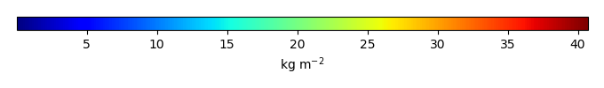
  Spatial resolution: 0.5x0.5 degree

  Derived data code: http://redwood.ess.uci.edu/mingquan/www/ILAMB/Download/CODES/CODES/subroutines/convert/convert-soilc-HWSD.ncl