Mean State
Download Data |
Period Mean (original grids) [Pg] |
Model Period Mean (intersection) [Pg] |
Model Period Mean (complement) [Pg] |
Benchmark Period Mean (intersection) [Pg] |
Benchmark Period Mean (complement) [Pg] |
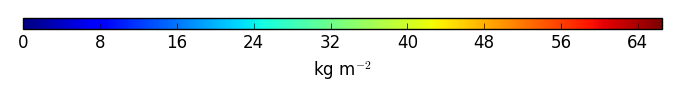
Bias [kg m-2] |
Bias Score [1] |
Spatial Distribution Score [1] |
Overall Score [1] |
|||
|---|---|---|---|---|---|---|---|---|---|---|---|---|
| Benchmark | [-] | 475. | ||||||||||
| ELM_v1RD_halfdeg_CN | [-] | 1.20e+03 | 392. | 809. | 465. | 10.5 | -3.30 | 0.039 | 0.86 | 0.45 | ||
| ELM_v1RD_hd_CNP | [-] | 1.09e+03 | 372. | 727. | 465. | 10.5 | -4.19 | 0.037 | 0.85 | 0.44 |
Temporally integrated period mean